Sant’Antioco Island, Sardinia (Italy)

Sant’Antioco is a small island in the southwest of Sardinia (Italy), part of the Sulcis Archipel. Located 84 km from the city of Cagliari, the capital of the island of Sardinia, is linked to this island by an artificial isthmus. The territory, of approximately 115 km2, is divided between the municipalities of Sant’Antioco and Calasetta. The former is the largest population centre (11.730 inhabitants), built on the site of the ancient city of Sulki, founded by the Phoenicians on the southeast coast of the island. Calasetta, founded in the 18th century, is the second most populated settlement on the island (2.851 inhabitants).
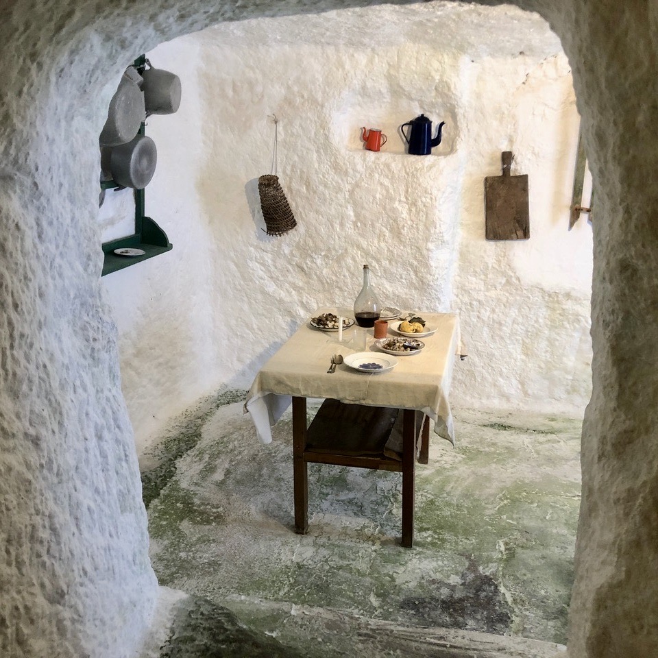
Inhabited throughout its history by different peoples and gathering diverse cultural influences, this small territory has concentrated a peculiar cultural heritage in which a variety of traditions still coexist. History, archaeology, traditional crafts, gastronomy, and music constitute a living and rich heritage worthy of being known and preserved.
Climate and landscape
The landscape of the island of Sant’Antioco is that of a Mediterranean climate: warm, with long periods of summer drought and irregular and scarce rainfalls, high average temperatures, mistral and libeccio winds in winter and warm sirocco winds in summer. This habitat provides the specific conditions for many typical species of flora which contribute to build the rare beauty of the island: From coastal areas where the Salicornia grows in its many variants; to the hinterland, home to wild lavender, broom, Phoenician juniper, wild olive, other Mediterranean shrubs and the Dwarf Palm; or even marine plants such as the Posidonia Oceanica or “Neptune Grass”.
Without large watercourses and irregular and scarce annual precipitations, the island’s economy has been able to develop throughout its history the predominant crops of vines, wheat, and legumes.
History
As testified by the numerous remains of settlements and necropolis, the island of Sant’Antioco would have been originally occupied by the Phoenicians, founders of the city of Sulki, then by the Carthaginians and the Romans.
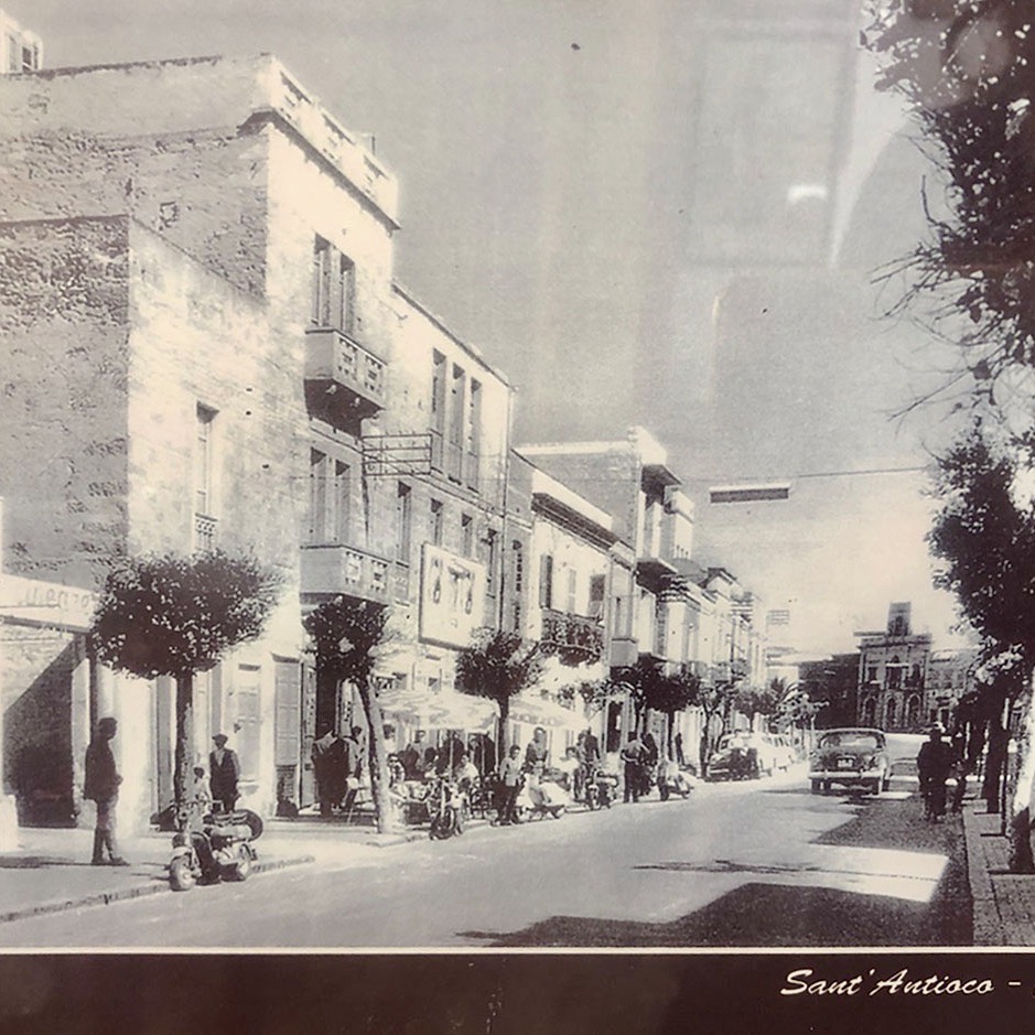
It was after the Roman period that the island was abandoned for many centuries as a consequence of the previous constant raids. In the first decades of the 18th century the island of Sant’Antioco began to be repopulated and the formation of the settlement of Calasetta began. The new population was a community of fishermen from the island of Tabarka (Tunisia) which, at that time, belonged to the Lomellini family of Genoa. When the population of Tabarka started to grow, the Tabarkini began to look for similar places in the Mediterranean Sea, first occupying the island of Sant Pietro and then Sant’Antioco. King Carlo Emmanuel of Savoy allowed the migration of 45 families from the island of Tabarka and entrusted the construction of the new settlement of Calasetta, in the northwest of the island, to the order of Saint Maurice and Lazarus.
The Tabarka migrants brought with them language, customs, habits, and traditions, which explains why the Tabarchine culture is still alive and present in many aspects of the intangible heritage of the island.
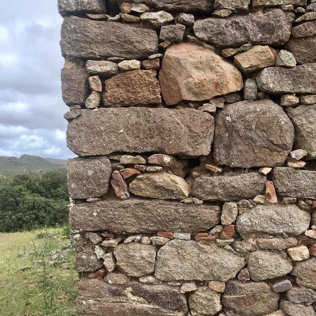
Architecture
The initial settlement of Calasetta was planned by the engineer Pietro Belly following the Cartesian logic of Savoy urban plans. The project was based on two orthogonal streets which were the axes from which to organise secondary orthogonal streets and plots of land. These properties, occupied by the first families to arrive, responded to housing typologies with a clear agricultural vocation, military protection (due to the constants pirate raids) and rational solutions to optimize time, resources in construction, and water supply. These typologies consisted of a main building located on the corner of the plot, a courtyard, a barn, and a backyard.
The urban plan also had a centralised layout with a main square where the church, the adjoining parish house and the water reserve tank were located. The supply warehouse was in the southern part of the settlement. This simple and rational scheme was designed to accommodate the growth of the village and evolve into a more defined urban programme.
The engineer Giovanni Francesco Daristo designed an expansion plan in 1773 extending the matrix of streets defined by Pietro Belly. The variation in this new project was a greater attention to military structures, proposing a circuit of fortifications around the village. These protections were arranged to leave enough space for future expansions as the success of the project and the arrival of new population was expected.
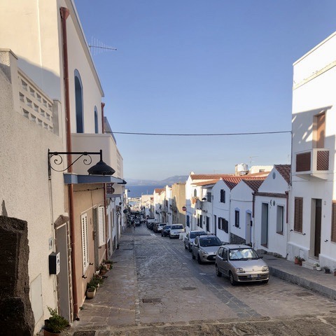
The agricultural vocation of the settlement has remained largely unchanged over time. However, during the 19th century, an increasing urban densification began, influenced by a growing tourist demand. The courtyards of the properties were occupied with the extension of the old houses or with new constructions, thus giving a new image to the urban center. Only the chromatic purism of the village, whitewashed with lime, still remains today as a distinguishing feature of Calasetta.
Economic activities and crafts
Closely linked to the sea, life on the island was largely based on fishing. Along with salt production, this was a major economic activity. However, the sea has not only been a source of life, it has also been the fundamental element around which the local culture has developed, with its traditions, habits, stories, popular songs and, ultimately, rhythms of life.
Work on the land has also been equally important, with wine production being another of the main means of subsistence for centuries. Delimited by low fences, the vineyards occupy large portions of territory fed by the sandy soils of the island. These allow for a particular cultivation technique that gives the plants greater resistance to drought, increased longevity, and a better plant-production balance. Most importantly, the vineyards have been the basis for a land management in perfect harmony with the landscape.
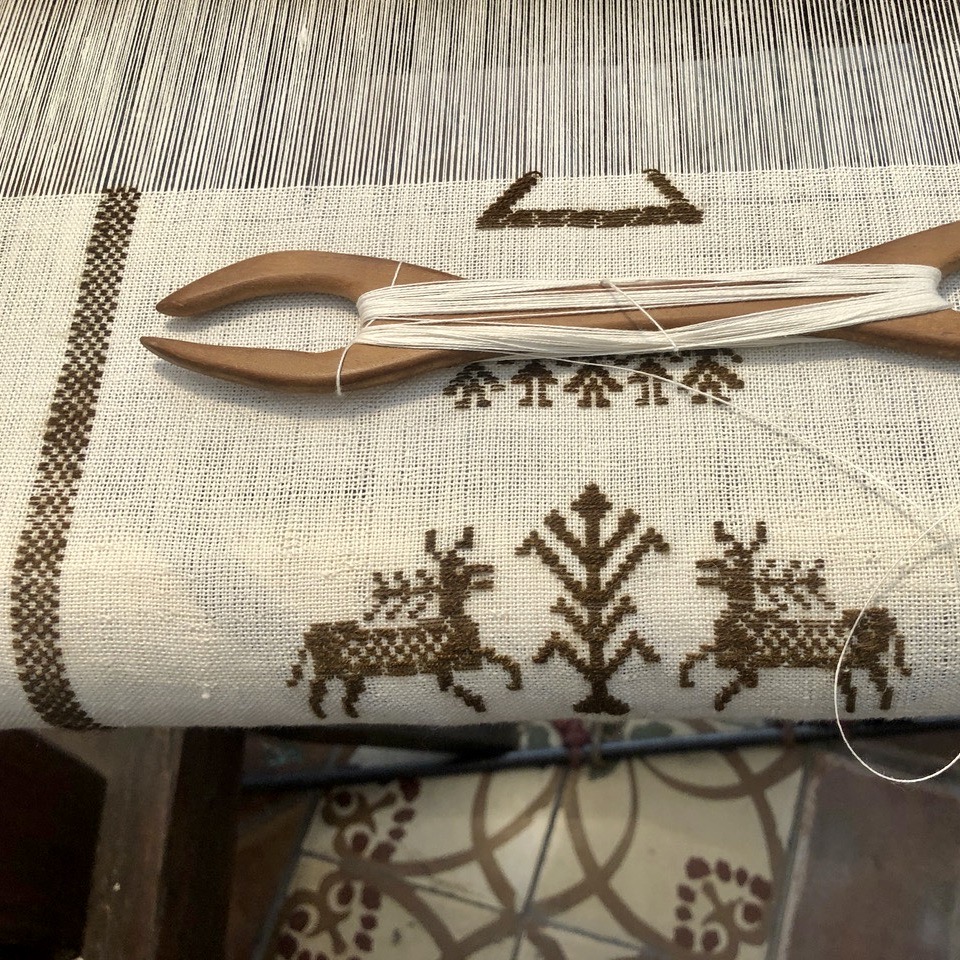
Among these occupations, the island was also known for its weaving. In particular, Sant’Antioco was especially appreciated for the production of a very particular fibre: the byssus, a natural material obtained from the secretions of some molluscs such as the gnacchera (Pinna nobilis), once abundant in the surrounding sea, and which had similar characteristics to silk. In fact, it is believed that the second most important municipality of Sant’Antioco, Calasetta, owes its name to this natural resource, having been known as Cala della seta, i.e. small bay of the silk.
Although much of the island’s economy is now based on tourism, local production is still maintained.